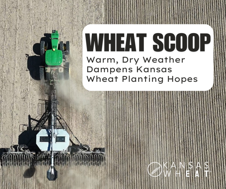
Parched soil and warmer-than-average temperatures, combined with low prices, have dampened the hopes of Kansas producers who are dusting in their wheat crop. The climatic conditions don’t provide much hope for a change in the weather through the winter, leaving growers praying for spring showers.
“Last year, the state of Kansas planted 7.6 million acres of wheat. Early indications point towards this year being similar to slightly lower due to the challenging dry conditions and low cash prices,” said Justin Gilpin, Kansas Wheat CEO. “The dry fall has sped up fall harvest, extending the window for double-crop wheat behind corn and soybeans. Even if that is just for ground cover, it is going to need some fall moisture for any hope of establishment. “
Kansas producers have planted 52 percent of winter wheat acres, according to the USDA’s National Agricultural Statistics Service crop progress report for the week ending October 6, 2024. That planting progress is on pace with last year and the five-year average. Emergence was rated at 21 percent, near 24 percent both last year and on average.
Jason Ochs, Chairman of the Kansas Wheat Commission, who farms near Syracuse in Hamilton County, reported that they received moisture two to three weeks ago and all the wheat has emerged and has very good stands. Acres in the area appear to be pretty consistent with last year. However, it’s been hot, 80 to 95 degrees in October, and dry, so it’s going backwards fast.
“The wheat is coming on way too strong, in my opinion,” he said.
Temperatures that are 10 to 15 degrees warmer than average are a big concern. In addition to agronomic concerns about the wheat crop’s emergence, which is dependent on temperature, these higher-than-normal temperatures have additional impacts on the stressors for an emerging wheat crop.
“Temperatures are obviously warmer, so we have a higher moisture demand,” said Chip Redmond, K-State assistant meteorologist and Kansas Mesonet Manager. “We still have active growth in summer grasses and trees and that depletes overall residual soil moisture. With a late freeze, then we see an increase in insect stress because we’re not able to kill the pests off, force hibernation or help them migrate south out of the area. That increased stress leads to more damage potential as well.”
Insects were a major factor in the delay in planting in Barton County for Dean Stoskopf, who farms near Hoisington.
“We held off planting for several weeks because there was a high number of grasshoppers and armyworms,” he said. “That, with the hot, dry weather, has not made for the best planting conditions. In early planted wheat, folks used insecticides to try and suppress that pressure, but the extremely high number of grasshoppers would try and clean out fields as soon as it emerged where they did not.”
Stoskopf is about two-thirds done planting wheat, around 10 days behind average pace. Elsewhere in the county, some folks are done and others have barely started. That includes folks who are double-cropping behind soybeans and continuing to wait for moisture. Overall, acreage is steady compared to previous years.
Redmond noted a cooler period coming next week around October 14 or 15 could bring brief freezing conditions that would help with that pressure and bring in some cloud cover and maybe a couple of sprinkles to the far edges of the state. Still, those showers would be an anomaly, and he does not forecast any real moisture through the end of October. Additionally, opportunities for moisture appear limited even into the early winter months.
“And as we go into a period where we don’t get much precipitation – winters are when we climatologically average the least amount of moisture – we are unlikely going to recharge soil moisture for potentially the next three or four months,” he said. “We are definitely started to get concerned, not only on the agriculture side but also on the public water side, with drought expansion likely to continue with above normal temperatures and below normal precipitation.”
This extension of drought conditions is driven by a combination of factors, namely the transition from El Niño to La Niña and the ongoing negative Pacific Decadal Oscillation. The El Niño Southern Oscillation, which is characterized by water temperatures in the East Equatorial Pacific, was warmer than normal last winter, in an El Nino status. This often means moisture for Kansas – like that observed last spring.
Redmond noted that those timely spring showers helped recharge soil moisture when and where they came. Now, however, those supplies are running low. NASS reported that, as of the week ending October 6, there is no surplus topsoil moisture with overall supplies rated at 25 percent very short, 24 percent short and 28 percent adequate. The same is true with subsoil moisture with no surplus, 23 percent very short, 48 percent short and 29 percent adequate.
Tanner Brown from Colby in Thomas County was waiting for the rain three weeks ago before starting to plant wheat, but they didn’t get much, so they started dusting it in. They’ve finished all the dryland wheat, but very little has emerged, and when you dig down, most hasn’t even sprouted. There is very little to no soil moisture and the top 1.5 feet is completely dry.
“The wheat will be pretty spotty when it does come up,” he said. “Overall, we have had pretty poor planting conditions.”
He expects acres in the area to be consistent with last year, but he has seen some wheat stubble going back into wheat and some fields with harvested corn stalks going into wheat, which is a bit surprising because of the continued dry conditions.
Those dry conditions are expected to continue in the near term, according to Redmond. El Niño waned with cooling water over the early summer with “neutral conditions” now observed. A transition into La Niña, cooler than normal waters in the same east Pacific region, is expected into the early winter. This usually signals dry conditions for Kansas and the central and southern United States. This La Niña period, however, is expected to not be as potent as previous episodes.
“But thankfully, La Niña is going to be weak and rather short-lived, expected to wane as we get into the spring and return to neutral conditions,” Redmond said. “So that’s good for us, meaning that maybe these conditions will be short-term in the climate realm. It’ll only be four or five months instead of years.”
While the weak La Niña event is expected to be short-lived, Redmond is more concerned with the negative Pacific Decadal Oscillation, which has persisted for 10 years. This means that waters in the north central Pacific Ocean are warmer than normal with cooler conditions in the eastern extent of the north Pacific, which will likely contribute to warm and dry conditions throughout the winter. His only hope – a strong typhoon forms in the far West Pacific, amplifies the jet stream and brings moisture back to the Midwest.
But until the pattern breaks down, there will not be a change to the warm, dry weather in the forecast. Still, Kansas producers will continue to meet these challenges the same way they always have – rely on proven genetics and agronomic practices, dust in the crop and pray for rain.
Track the latest developments on the Kansas wheat crop from planting to harvest at kswheat.com.