A cold front bringing with it arctic air Sunday morning put an abrupt end to a couple of days of record setting warmth.
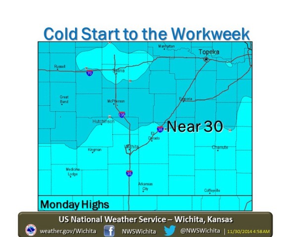
According to the National Weather Service, gusty north winds of 15 to 25 mph are drawing much colder air into the region. By mid-late afternoon, most of Kansas will have temperatures in the 20s and 30s.
The frigid cold will allow high temperatures to climb only into the lower 30s for the next several days, replacing the highs in the upper 60s and lower 70s much of Kansas had been enjoying. Wind chills will be in the single digits.
Later in the week there will be a gradual warming trend, with highs near 50 by Friday.


