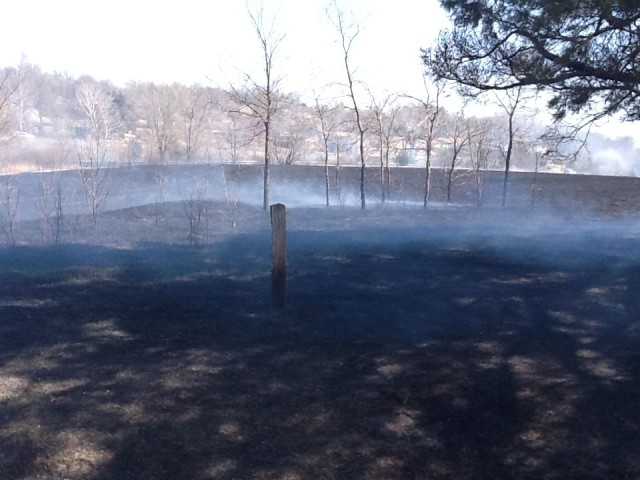
With the prescribed burning season underway, landowners should familiarize themselves with the information available on www.ksfire.org and the KS Flint Hills Smoke Management page on Facebook. Tools can be found in both locations to help make burn-time decisions that minimize the impact of smoke on urban areas. The success of this voluntary approach is essential to preventing regulation of burning by the Environmental Protection Agency.
According to the Kansas Livestock Association, among key elements available for use are two forecast models on the website. The Cumulative Fire Impact Map predicts potential smoke contributions from each county to urban air quality. The second model shows the direction and extent of the predicted smoke plume from a single burn based on variables provided by the user. An animated map displays smoke movement over the next 48 hours based on burn location, number of acres and the estimated fuel load. Weather conditions also are provided to evaluate the safety and effectiveness of a planned burn.
Last year, nearly 1.4 million acres were burned in 17 Kansas counties making up the Flint Hills, up from 1.2 million in 2023.