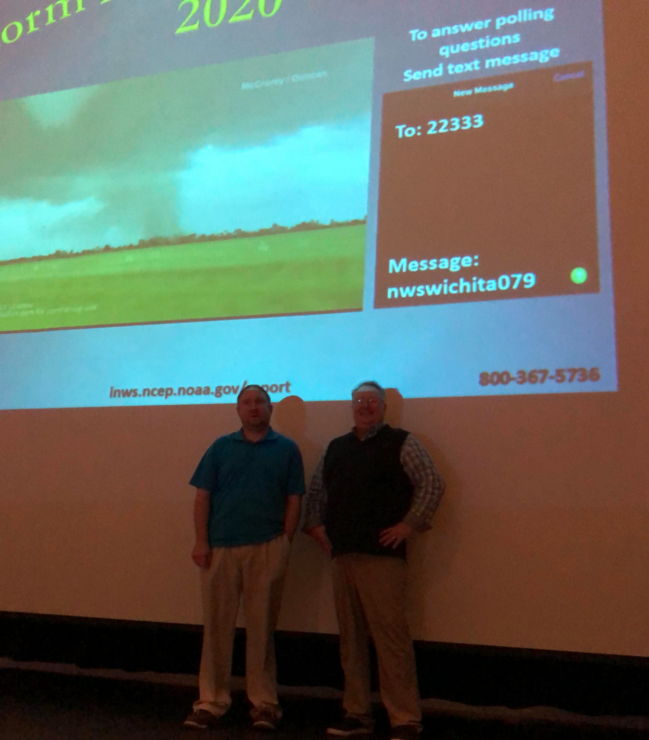
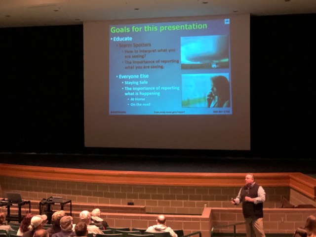
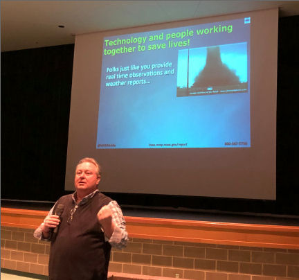
A crowd of about 100 people experienced a real storm fury in Salina Wednesday evening. National Weather Service Meteorologists Chance Hayes and Robb Lawson were in town to present the “Storm Fury On The Plains 2020” spring severe weather safety and spotter class.
Hayes handled the first part of the presentation, and Lawson handled the second half. The duo used multi-media to teach the basics of thunderstorm development, storm structure, the features to look for, and where to find them. What, when and how to report information as well as basic severe weather safety were also covered.
Hayes and Lawson shared with KSAL News a couple of statistics for 2019 and into 2020. Hayes said this past January was one of the warmest on record in Kansas. The average high temperature was about 5 degrees warmer than normal. Lawson said that according to preliminary numbers the Labette County community of Altamont set a stat record for yearly rainfall in 2019, with 75.23 inches. The community typically averages 45.06 inches of rain a year.
It was another active year across Kansas for severe weather, and tornadoes. There were 87 tornadoes across the state in 2019, a few tornadoes below the 1990-2019 annual normal of 89. It was the most active year across the state since 2016.
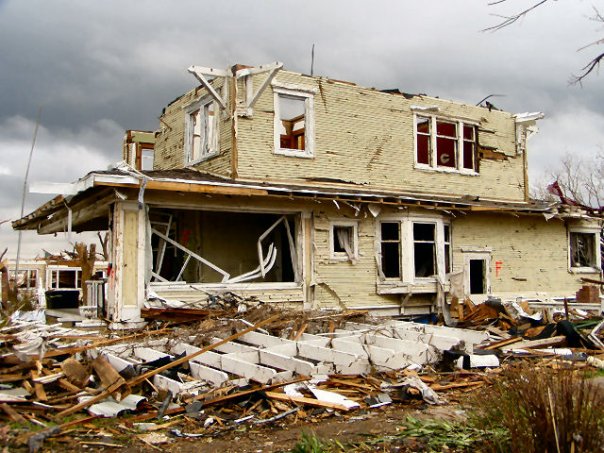
The strongest tornado was an EF-4 that tracked nearly 32 miles across northeast Kansas on May 28th, producing extensive damage around the Linwood and Bonner Springs area. It was the first EF-4 in the state since 2016. In all, 2019 Kansas tornadoes produced 16 injuries, no fatalities and an estimated property damage amount of $28,160,000.
The “Storm Fury on the Plains 2020” event will continue be presented again at several communities around the area.
—
Complete List of Storm Fury Dates / Times
